Safe and efficient construction of water infrastructure projects is crucial for modern society. However, a hidden network of underground pipes and utilities presents a significant challenge. Accurately locating and mapping these water utilities is essential to avoid costly disruptions, potential safety hazards, and project delays. This is where water utility mapping software comes in, and PointMan stands out as a comprehensive solution.
Understanding Water Utility Mapping Software
Water utility mapping software plays a crucial role in construction and infrastructure development by precisely identifying and mapping underground water pipes and utilities. This software is essential because it helps project planners and construction teams understand where water pipes and other underground infrastructure are located before any digging begins.
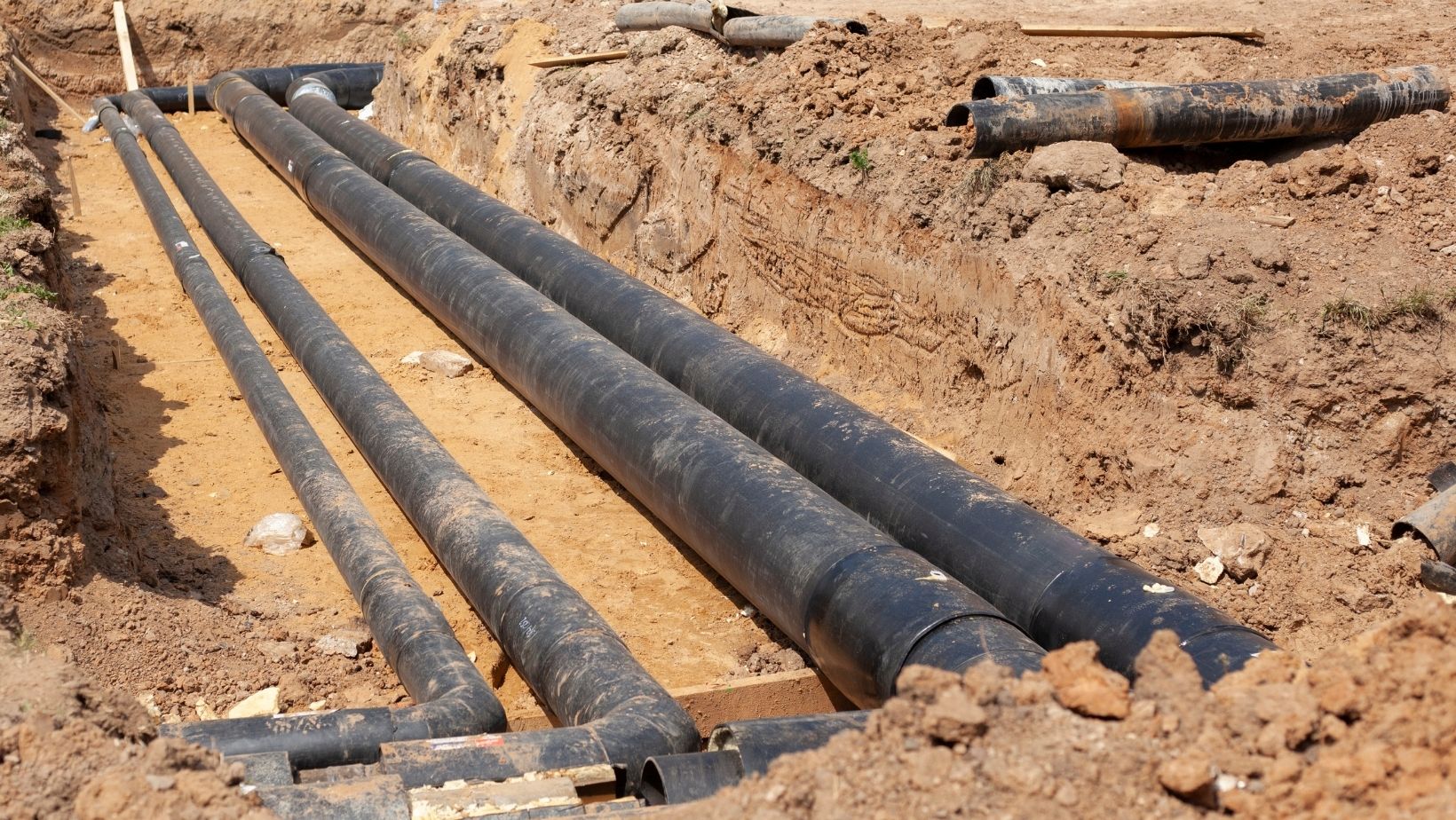
Accurate mapping is vital because it significantly reduces the risks associated with construction activities. By knowing the exact locations of water pipes, electrical lines, and gas mains beforehand, construction teams can avoid accidentally damaging these utilities during excavation or other underground work. This helps prevent service disruptions, costly repairs, and potential safety hazards for workers and the public.
In modern construction practices, digital mapping technologies have become indispensable. These technologies, including Geographic Information Systems (GIS), enable project teams to visualize and manage complex data related to underground infrastructure. They provide detailed maps and data that enhance decision-making processes and improve overall project efficiency. For water utility projects, digital mapping allows for precise planning and execution, minimizing the likelihood of conflicts with existing utilities and ensuring regulatory compliance.
Water utility mapping software not only enhances project safety and efficiency but also supports sustainable development by reducing environmental impacts. By accurately mapping underground utilities, organizations can protect natural resources and minimize disruptions to communities during construction activities. Overall, investing in advanced digital mapping technologies ensures smoother project execution and better outcomes for water utility infrastructure projects.
GIS for Water Utilities: Enhancing Efficiency and Safety
Geographic Information System (GIS) plays a pivotal role in modern water utility management by providing a digital framework for organizing, analyzing, and visualizing geographical data related to underground infrastructure. It allows utilities to map out and understand their assets in a spatial context, which is crucial for effective decision-making and operational efficiency. GIS captures not only the location of water pipes and other utilities but also their attributes such as material, installation date, and maintenance history. This comprehensive data helps utility managers and engineers gain insights into infrastructure conditions and plan maintenance schedules proactively.
Benefits of GIS for Water Utilities
GIS brings significant benefits to water utilities by enhancing asset management, reducing risks, and optimizing workflows. Firstly, it improves asset management by centralizing all asset information in a digital database accessible to stakeholders. This enables utilities to monitor asset conditions, track maintenance activities, and plan infrastructure upgrades systematically. By integrating historical data with real-time information, GIS empowers utilities to make informed decisions that extend asset lifespans and minimize downtime.
Secondly, GIS helps in mitigating risks associated with underground infrastructure. By accurately mapping utilities and overlaying them with environmental data such as soil conditions and groundwater levels, GIS identifies potential hazards before they escalate. This proactive approach reduces the likelihood of service disruptions, environmental incidents, and costly repairs caused by utility failures.
Lastly, GIS optimizes workflows by streamlining communication and coordination among different departments and external stakeholders. It facilitates data sharing in real-time, allowing field crews, engineers, and regulatory authorities to access up-to-date information instantly. This improves response times during emergencies and ensures regulatory compliance more efficiently.
How GIS Integrates with Water Utility Mapping Software
GIS seamlessly integrates with specialized utility mapping software to enhance mapping accuracy and functionality. They utilize GIS data layers to visualize underground utilities precisely. By integrating with GIS, they leverage spatial analysis tools and overlays to provide detailed insights into infrastructure conditions. This integration ensures that project teams have access to comprehensive, accurate data for informed decision-making throughout the lifecycle of water utility projects. Together, these solutions empower utilities to manage their underground infrastructure more effectively, ensuring safety, efficiency, and sustainability.
The Role of Mapping Software in Underground Utility Mapping
Mapping software goes beyond basic utility mapping software. It’s a specialized solution designed specifically for the complexities of underground utility mapping. They offer a robust suite of features to ensure the most accurate and efficient water utility mapping workflows:
- Advanced Mapping Technology: They utilize cutting-edge technology to capture precise data on the location and depth of underground water pipes.
- GPS/GNSS Integration: Integration with GPS (Global Positioning System) and GNSS (Global Navigation Satellite System) technologies ensures accurate positioning of water utilities on the map.
- Real-Time Data Submission: They allow for real-time data submission, enabling immediate updates to water utility maps and facilitating seamless collaboration between field crews and project managers.
- Compatibility with Cable and Pipe Locators: These solutions work seamlessly with industry-standard cable and pipe locators, providing a comprehensive solution for underground utility mapping.
By leveraging these features, mapping solutions like PointMan empowers water utility professionals to identify and map underground water utilities with exceptional accuracy, minimizing the risk of encountering unforeseen obstacles during construction projects.
Digital Mapping for Water Utilities: Benefits and Applications
Digital mapping offers numerous benefits for water utility projects:
- Cost savings: Accurate water utility maps minimize the risk of accidental damage during excavation, leading to significant cost savings in repairs and project delays.
- Regulatory compliance: Digital mapping helps water utilities maintain accurate records of their infrastructure, ensuring compliance with relevant regulations and safety standards.
- Environmental protection: By avoiding accidental damage to water lines, digital mapping contributes to environmental protection by minimizing water loss and potential contamination.
Furthermore, digital mapping technologies can be applied to improve operational efficiencies in various ways:
- Streamlining project planning: Accurate water utility maps allow for more effective planning and design of water infrastructure projects.
- Enhanced decision-making: Real-time data empowers project managers to make informed decisions based on the latest information about underground water utilities.
- Improved collaboration: Digital mapping platforms facilitate real-time collaboration between field crews, project managers, and other stakeholders.
PointMan as the Ideal Underground Utility Mapping Software
By providing a comprehensive suite of features for accurate and efficient underground water utility mapping, PointMan empowers water utility professionals to enhance project safety, improve efficiency, and achieve better outcomes. PointMan addresses the challenges of water utility projects with its robust capabilities, making it the preferred choice for organizations seeking a reliable and advanced underground utility mapping solution.
Ready to experience the transformational power of PointMan in your water utility projects? Consider adopting PointMan and witness the positive impact it can have on your project efficiency, safety, and environmental responsibility.


’s Price And Its Potential To Be A Dominant Long-Term Hold")